
Which countries get official terrain and aerial photos
Worldlaps tracks get official terrain and aerial imagery in Spain, France, the Netherlands, Switzerland, North Rhine-Westphalia, New Zealand and the United States, and official terrain with satellite imagery in England, Norway and Canada. Portugal, Belgium, Poland, Czechia, Slovenia, Luxembourg, Austria, South Tyrol, two more German states, Japan and Hong Kong get official aerial photos; everywhere else, satellite terrain and imagery.
By Abel Antonino Juberías · Updated
Join the waitlist Free. The first 100 get the full licence.
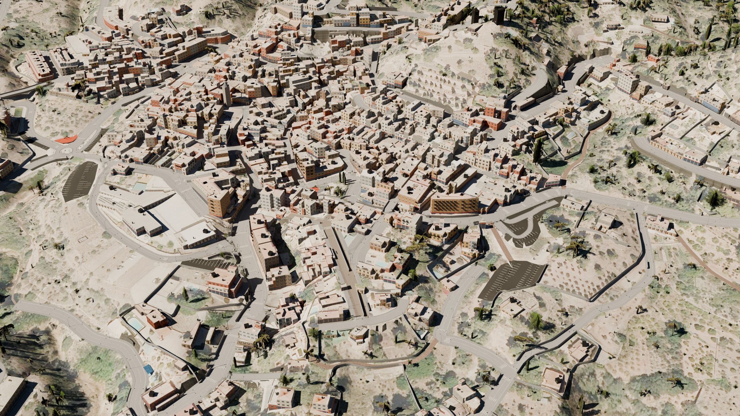
Open terrain and aerial imagery by country, for sim racing modders
Roads and buildings come from OpenStreetMap all over the world. What changes from one country to the next is the ground: the terrain and the aerial imagery. This is the coverage country by country. The linked names lead to the agency that publishes the data:
| Country or region | Terrain | Aerial imagery | Licence |
|---|---|---|---|
| Spain | IGN, 5 m DTM | PNOA, 15–25 cm flights | CC BY 4.0 (IGN) |
| France | IGN RGE ALTI, 1 m lidar (5 m where not yet flown) | IGN BD ORTHO, 20 cm | Licence Ouverte 2.0 (Etalab) |
| Netherlands | AHN, 0.5 m lidar | PDOK, 8 cm mosaic | AHN: CC0 · imagery: CC BY 4.0 |
| Switzerland | swisstopo swissALTI3D, 2 m | swisstopo SWISSIMAGE, 10 cm | swisstopo open data, source credited |
| Germany: North Rhine-Westphalia | DGM1, 1 m lidar | DOP, 10 cm | Datenlizenz Deutschland – Zero 2.0 |
| Germany: Bavaria | Copernicus, 30 m | DOP40, 40 cm | Imagery: CC BY 4.0 |
| Germany: Rhineland-Palatinate | Copernicus, 30 m | DOP20, 20 cm | Imagery: Datenlizenz Deutschland – Namensnennung 2.0 |
| Austria | Copernicus, 30 m | basemap.at, 30 cm | Imagery: CC BY 4.0 |
| Italy: South Tyrol | Copernicus, 30 m | Province of Bolzano, 20 cm | Imagery: CC BY 4.0 |
| Portugal | Copernicus, 30 m | DGT Ortos2025, 25 cm | CC BY 4.0 |
| Belgium | Copernicus, 30 m | Wallonia SPW and Flanders Digitaal Vlaanderen (25 cm), Brussels UrbIS (12.5 cm) | CC BY 4.0 · Open Data Licentie Vlaanderen · CC0 |
| Poland | Copernicus, 30 m | GUGiK orthophoto, 5–25 cm | Free for any use |
| Czechia | Copernicus, 30 m | ČÚZK Ortofoto ČR, 25 cm | CC BY 4.0 |
| Slovenia | Copernicus, 30 m | GURS DOF5, 25 cm | CC BY 4.0 |
| Luxembourg | Copernicus, 30 m | ACT orthophoto 2025, 20 cm | CC0 |
| England | Environment Agency LIDAR Composite DTM, 1 m | Sentinel-2 satellite, 10 m (the aerial photos are not open) | Open Government Licence v3 |
| Norway | Kartverket national height model DTM, 1 m | Sentinel-2 satellite, 10 m | CC BY 4.0 |
| Canada | NRCan HRDEM / CanElevation, 1 m lidar (Copernicus where not flown) | Sentinel-2 satellite, 10 m | Open Government Licence – Canada |
| New Zealand | LINZ national 1 m lidar DEM | LINZ aerial photos, 5–30 cm | CC BY 4.0 |
| Japan | Copernicus, 30 m | GSI seamless aerial photo, about 0.5 m | GSI content terms (compatible with CC BY 4.0) |
| Hong Kong | Copernicus, 30 m | LandsD Imagery Map, about 30 cm | DATA.GOV.HK terms, source credited |
| United States | USGS 3DEP, 1 m lidar (1/3 arc-second where not flown) | USDA NAIP, 60 cm | Public domain |
| Rest of the world | Copernicus GLO-30, 30 m | ESA WorldCover / Sentinel-2 satellite, 10 m | Free with attribution · CC BY 4.0 |
Native resolution of each source, checked in October 2026.
The rest of the world
Where there is no open official data, you still get the track, with worldwide satellite terrain and imagery: every field, wood or rock face has its real colour, just with less detail.
In practice: the road layout is just as faithful, because it comes from OpenStreetMap, but slopes look softer and the ground less sharp than with official terrain and imagery. On a city street you barely notice; on a mountain pass, you do.
How it shows on the track
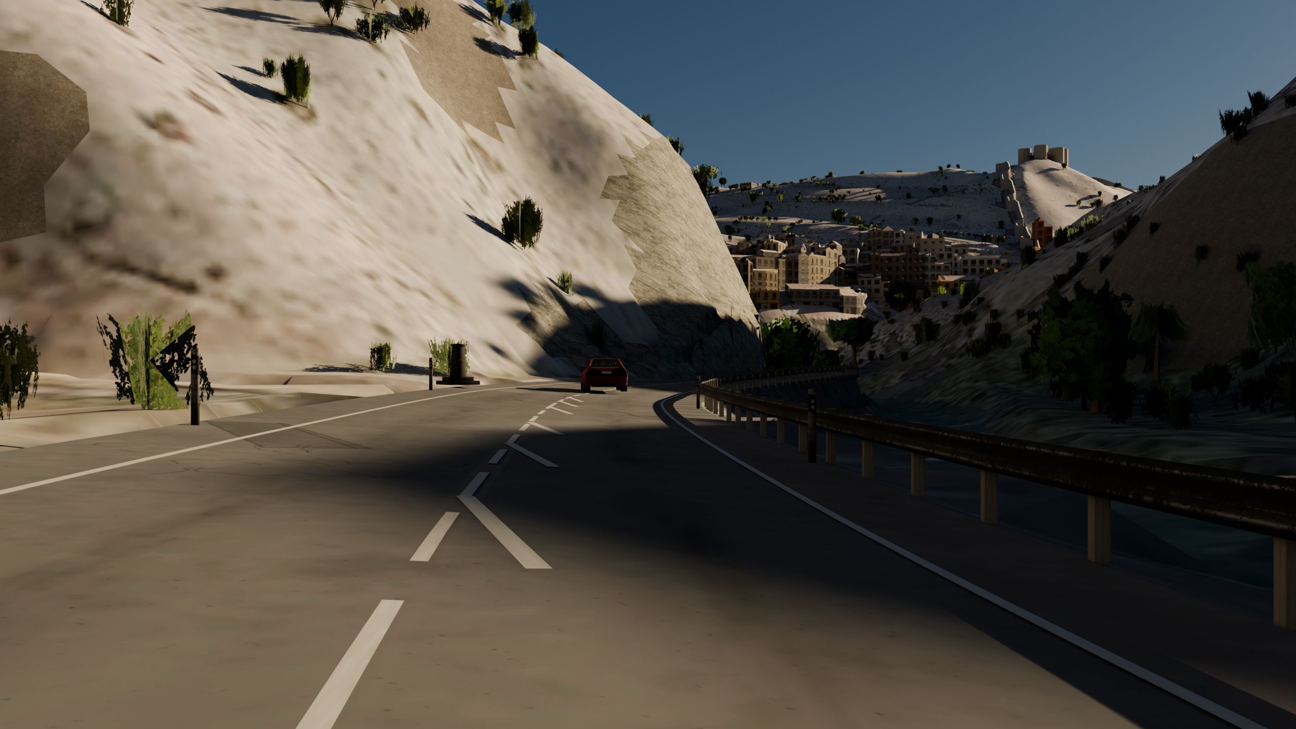
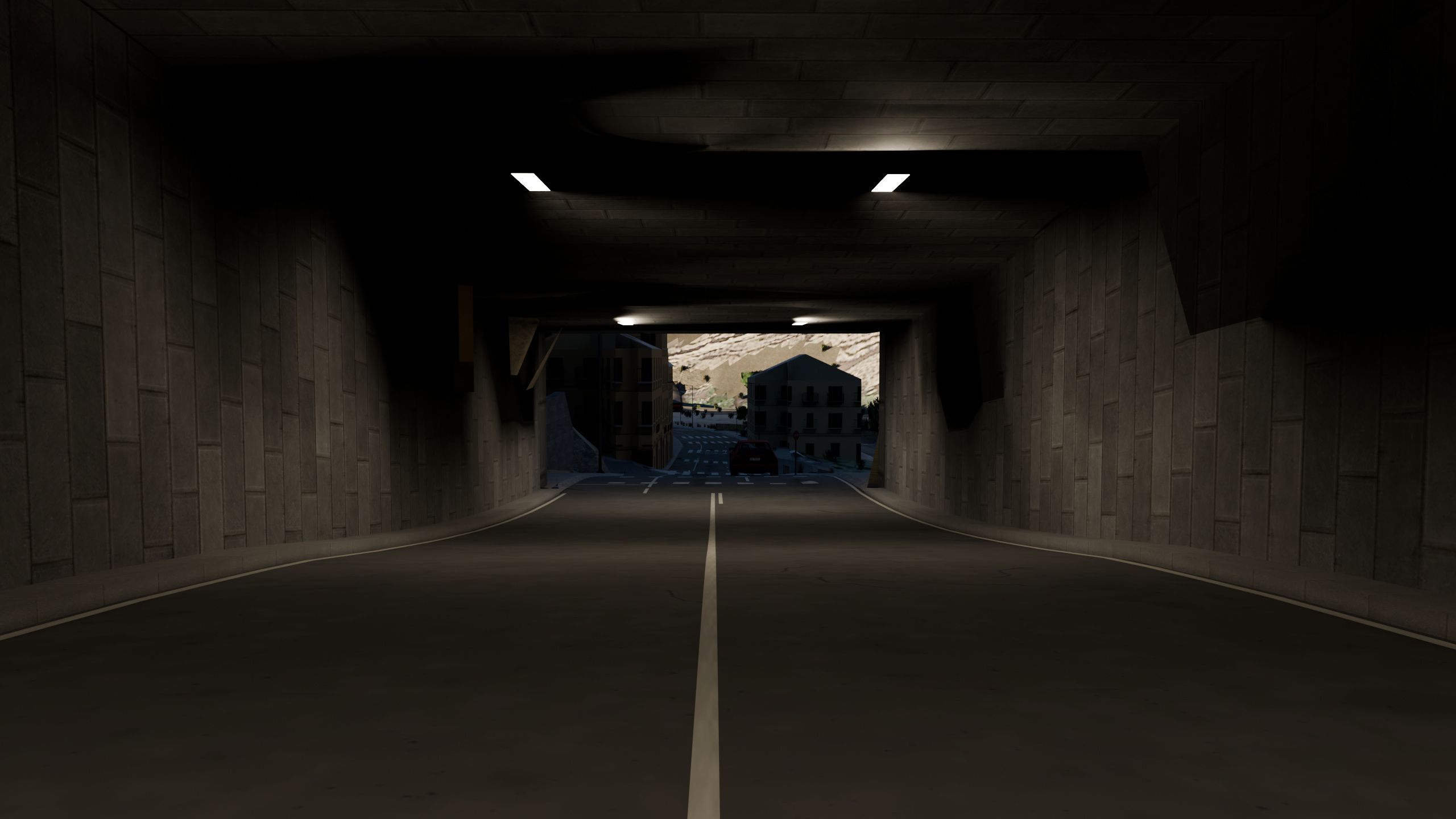
With official terrain and imagery, every crest is where it really is, the solid centre line appears exactly where sight distance runs out, and the ground around you (fields, tracks, yards) is recognisable from the car.
Spain in depth
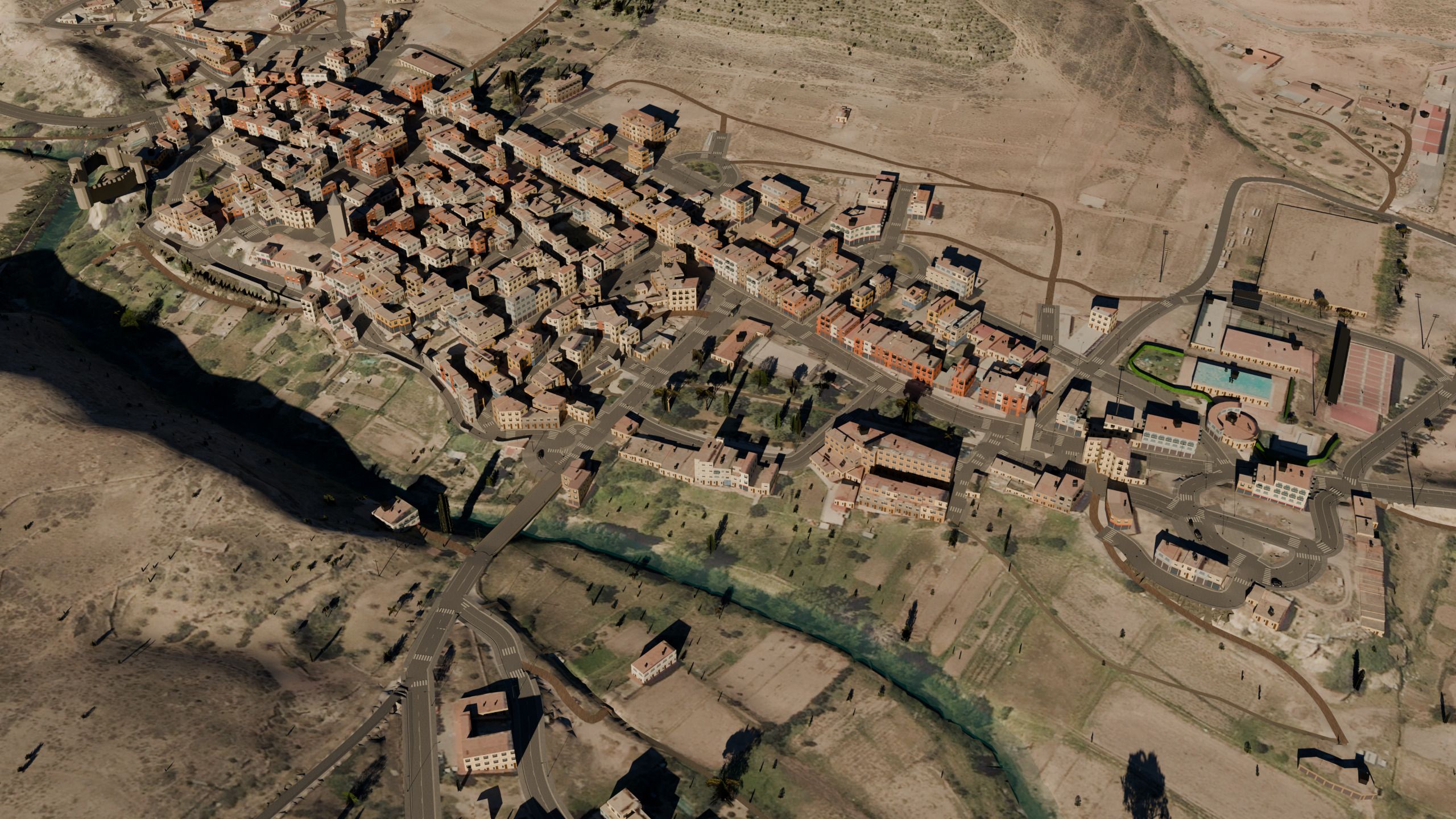
Spain is where Worldlaps has been tested most: official terrain and aerial imagery across the country, and every house with its real footprint and height. You can see it in maps such as Serra, Manzanera or Puerto de Sagunto.
To see what all this gives you where you live, start with putting your hometown in Assetto Corsa or a mountain pass. The full credit for every source is on the data attributions page.
Frequently asked questions
Does it work in my country if it is not in the table?
Yes. Roads and buildings come from OpenStreetMap worldwide; what changes is that the terrain and the ground imagery come from satellite and show less detail.
Why does Japan get an official photo but not official terrain?
Japan's aerial photo (GSI) may be used in a paid app with the source named. Its elevation tiles need an approval under the Survey Act before they can be built into a 3D map, so until that is granted the terrain is the worldwide satellite one.
Why do England, Norway and Canada get satellite imagery?
Their official terrain is open, but their aerial photography is not under a licence that lets a paid app put it in a track. So the terrain is official and the ground imagery comes from satellite.
Does official terrain make much difference?
In the mountains, yes: every embankment and crest is in its place. With satellite terrain, slopes look softer.
Can I share tracks made with this data?
Yes, as long as you keep the attributions that ship inside the track folder, which is what these licences ask. More in the open data attributions.
Why not Google Maps or Google Earth?
Because their terms do not allow extracting their imagery or terrain to use outside their own services. We explain it in OpenStreetMap to Assetto Corsa.