
How to put your hometown in Assetto Corsa
You do not need to model anything to drive your hometown in Assetto Corsa: in Worldlaps you find the place, mark the area on the map, and the app generates its streets, buildings, terrain and aerial imagery and installs the track in the game. A neighbourhood or a small town fits in the free version, up to 1 km².
By Abel Antonino Juberías · Updated
Join the waitlist Free. The first 100 get the full licence.
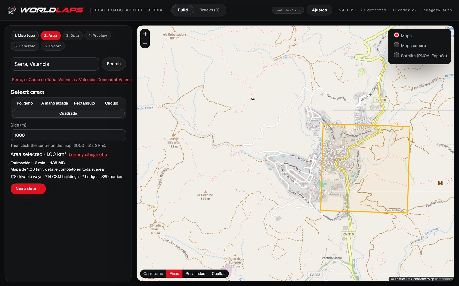
Find your town and mark the area
Open the app, choose "Free roam" and type the name of your town, your neighbourhood or a street. Then mark the area with whichever shape fits best: a rectangle, a circle, a polygon or freehand, following the edge of town or the road you drive in on every day.
Straight away the app tells you how many streets and buildings are inside, how much disk space the track will take and how long it will take to generate on your machine. If it is too much for your PC, you know before you wait.
How big to go
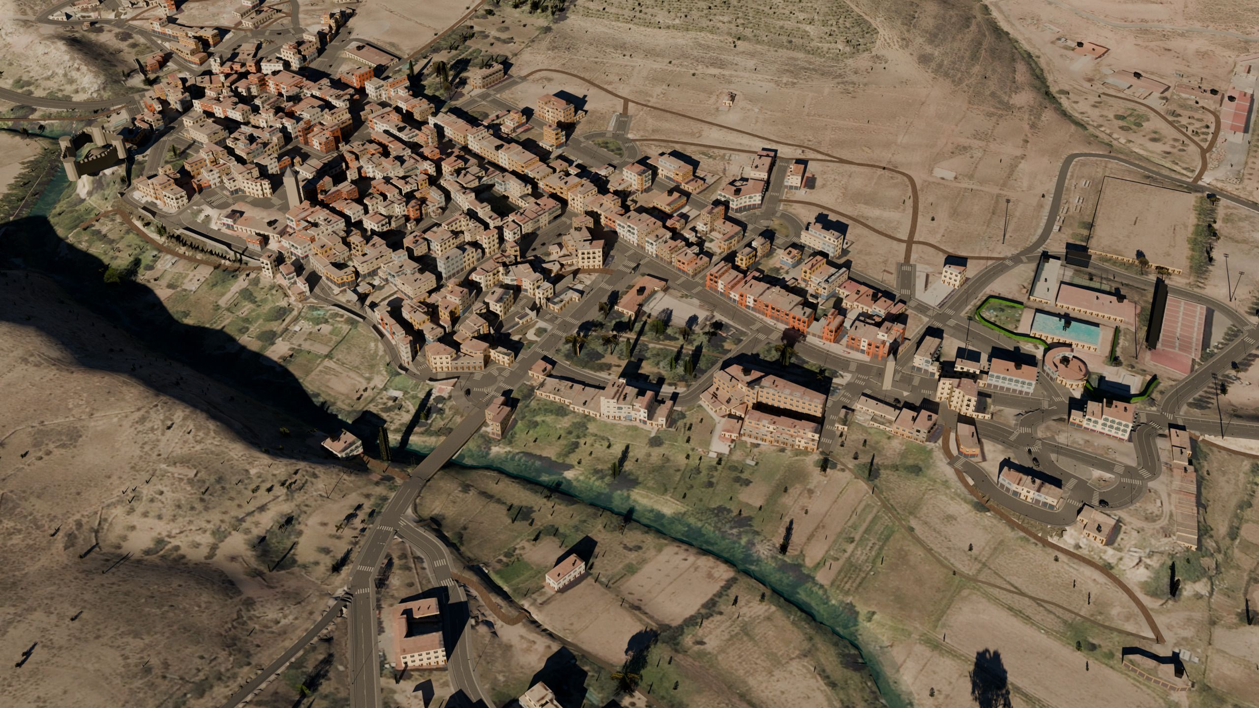
One square kilometre goes further than you would think. It is a whole city neighbourhood, or a small town with the roads in and out: Manzanera, in Teruel, fits entirely in 1.0 km², old quarter, river and bridge included. That is exactly what the free version generates.
| Area | Size | Track | Example |
|---|---|---|---|
| A neighbourhood or a small town | 1 km² | ~300 MB | Manzanera (Spain), 316 MB |
| A village and its mountain pass | 5.9 km² | 365 MB, about 6 min | Serra (Spain) |
| Town and seafront | 4.8 km² | 1.5 GB | Puerto de Sagunto (Spain) |
| A whole island | 120.4 km² | 2.1 GB, 2 h 44 min | Formentera (Spain) |
Sizes and times measured on the author's PC. Dense towns take more space because of the number of buildings.
What ends up in the track
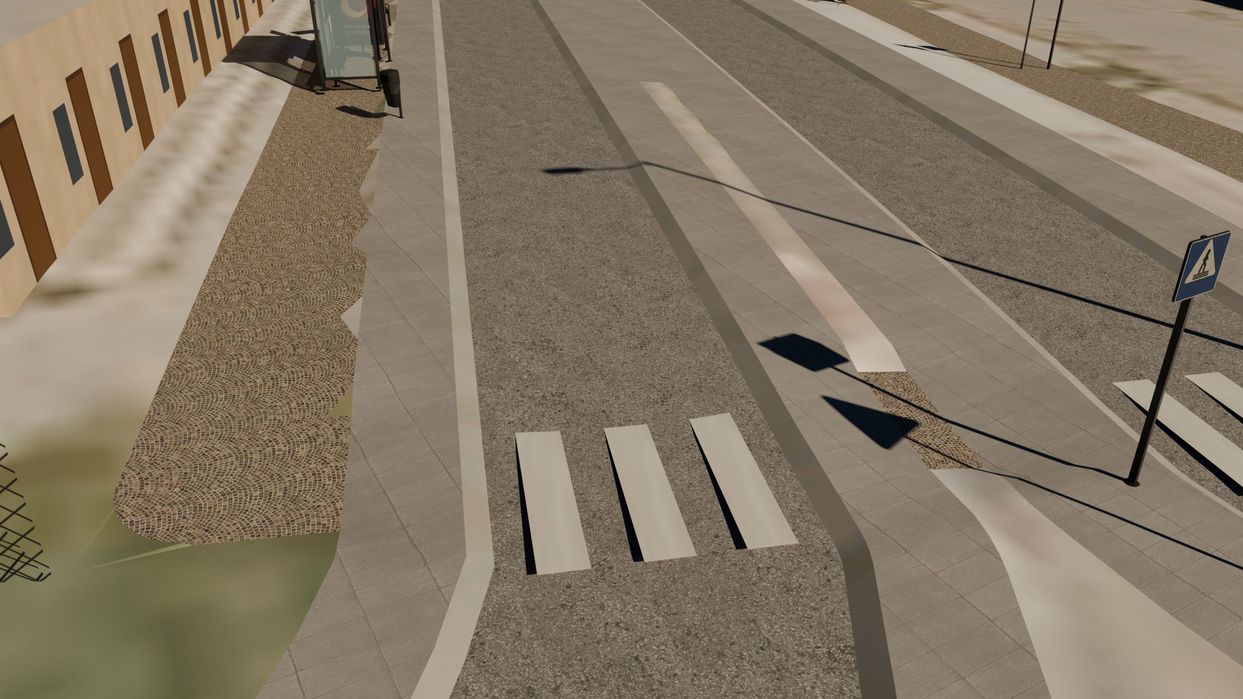
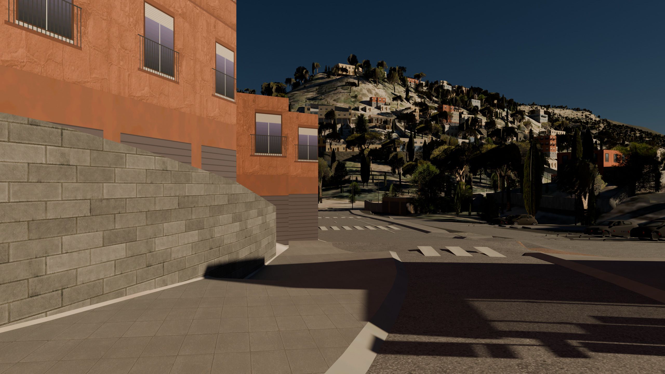
The goal is that you step out of the car and know where you are. To get there, the track has:
- Streets at their real width, with pavements, kerbs, zebra crossings, parking bays and road markings.
- Buildings with their footprint and height.
- Facades by building type: a village house is not a block of flats, a warehouse or a church.
- Real terrain: sloping streets, retaining walls and hillside villages built in terraces come out as they are.
- Trees that match the local vegetation and road signs in the local language.
If you live in a big city
A capital with tens of thousands of buildings needs a lot of memory to generate and to load in the game. The sensible move is to start with your district or your daily drive and grow it once you see how your machine copes. As a guide, 16 GB of memory handles areas of a few km² well; large maps want more.
If you want a whole area with every street open, the free-roam map guide explains how far you can go, up to a whole island.
Outside Spain
Streets and buildings come from OpenStreetMap, which covers the whole world, so it works for any town. What changes from country to country is the quality of the terrain and of the aerial imagery on the ground. The first track outside Spain was a street in Cascais, Portugal.
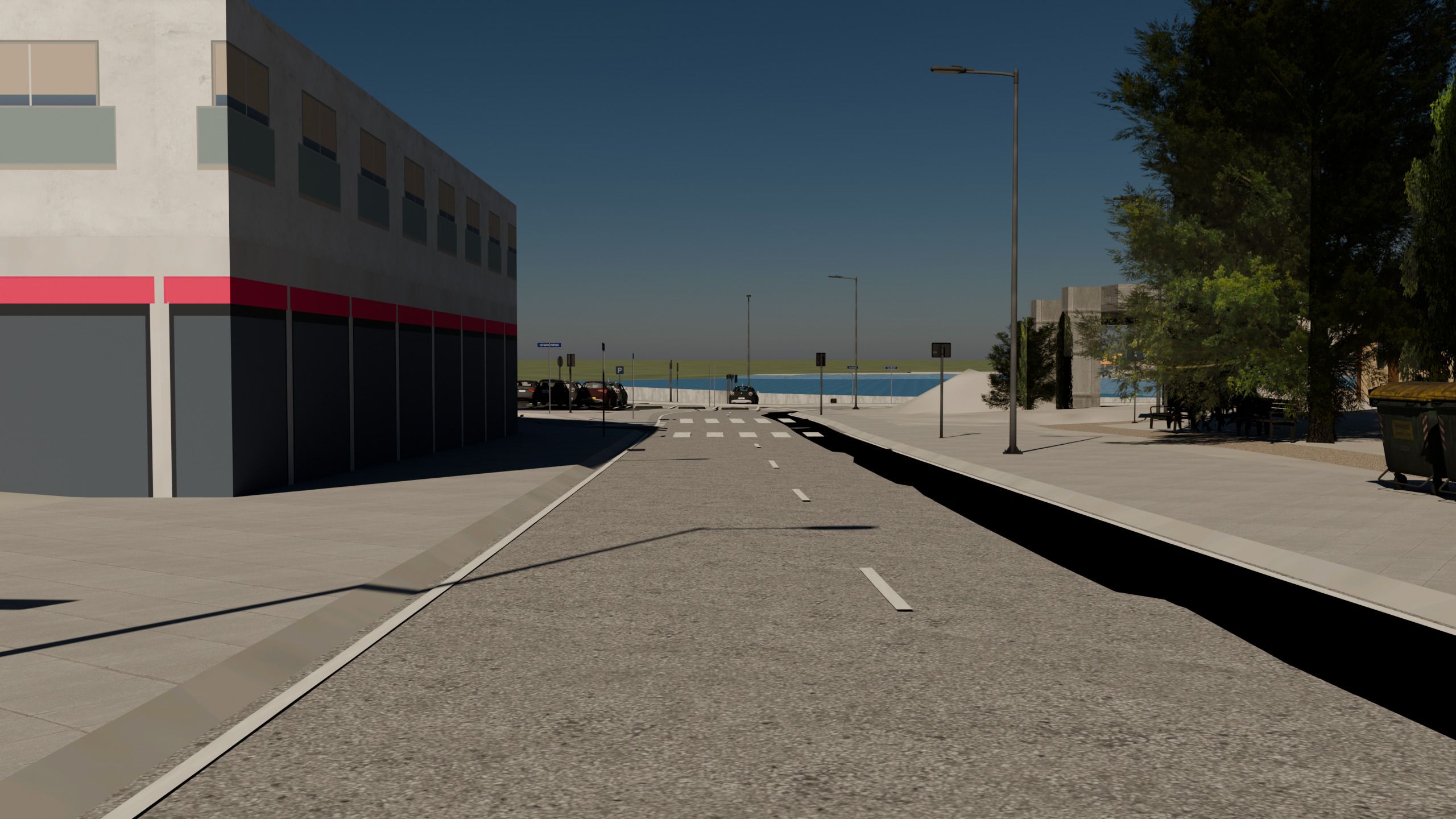
Check what quality your country gets in the terrain and imagery table by country.
Driving it with your friends
Your town becomes an ordinary Assetto Corsa track. You can hand the folder to your friends and race it on a server, as long as everyone has the same one. Keep the open-data attributions that ship inside it, and leave the car parks with the free (CC0) cars that come by default: if you choose to fill them with the cars from your own Assetto Corsa, that track can no longer be shared.
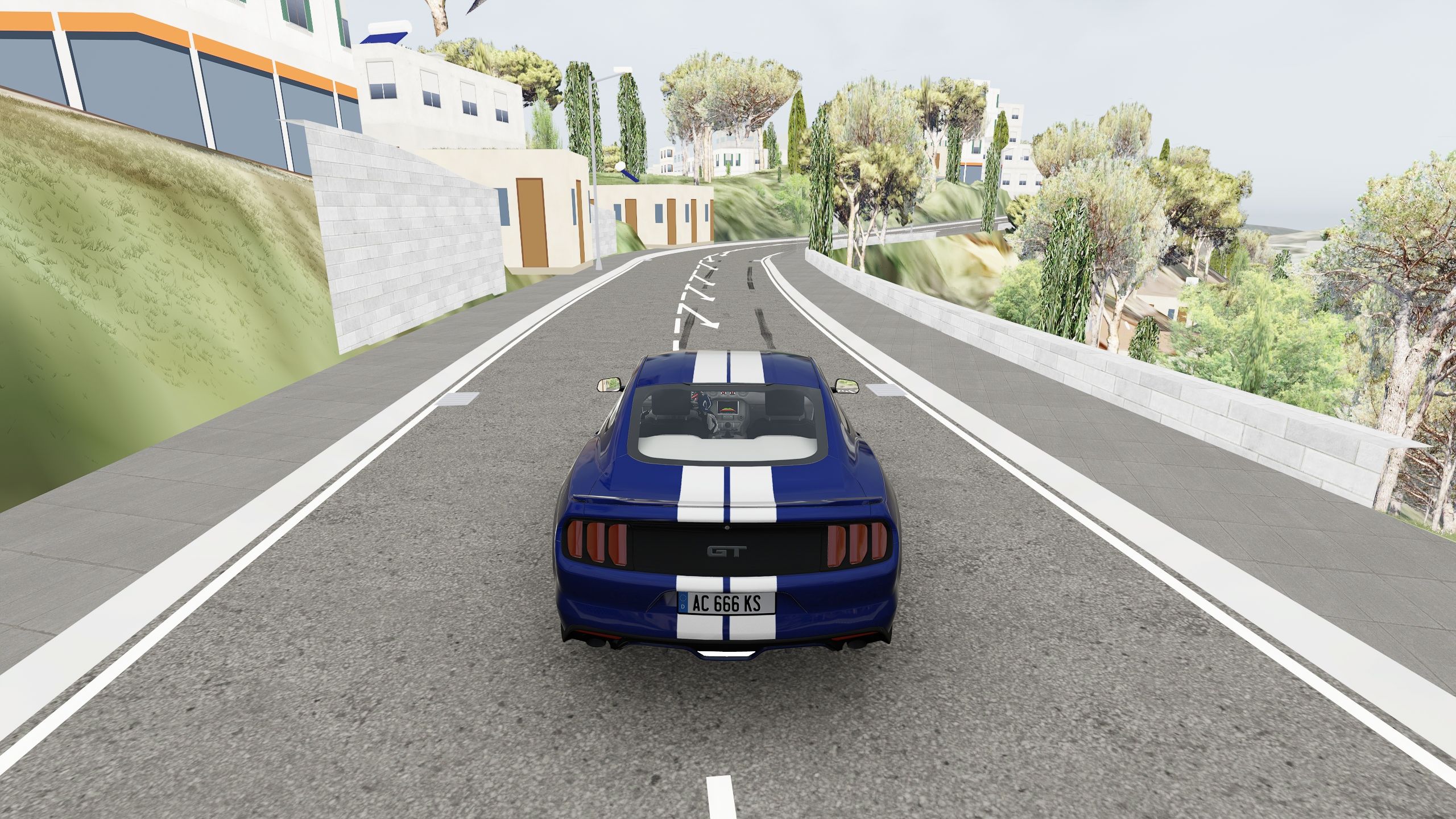
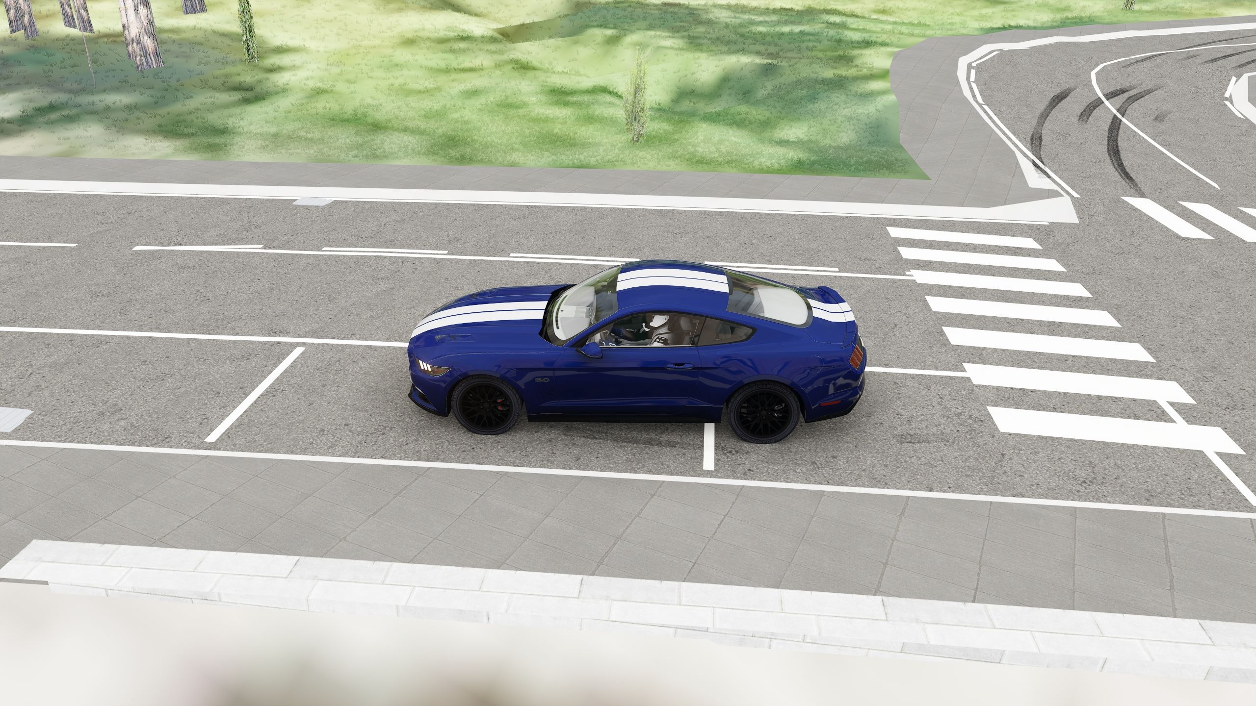
Your streets in the game: unretouched screenshots
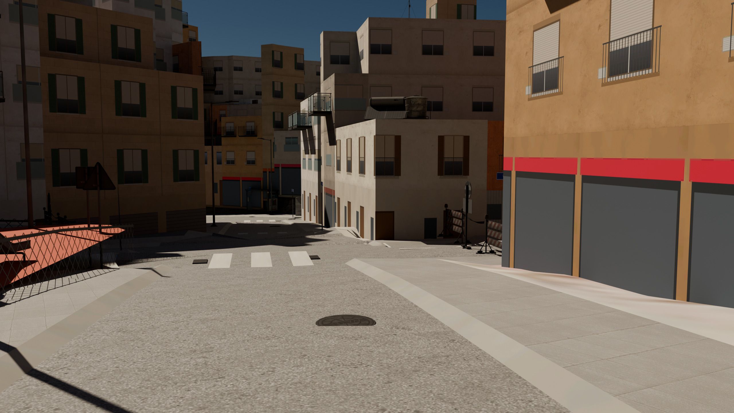
The photos above are pictures of the generated tracks. These are plain Assetto Corsa screenshots of generated towns and roads, chase cam and the game’s Mustang: houses, retaining walls and signs as you see them when you drive through.
Frequently asked questions
Is my town in OpenStreetMap?
Almost certainly: look up your street on openstreetmap.org. If a street or a building is missing, you can add it yourself, since OpenStreetMap is a collaborative map, and it will appear in the tracks you generate afterwards.
How long does it take to generate?
It depends on the area and on your PC. On the author's machine, a 1.3 km² stretch took under two minutes and a village with its pass, 5.9 km², about six. The app gives you its estimate before starting.
How much memory do I need?
16 GB handles areas of a few km² well. Large maps, such as an island or a city, want more.
Can I generate my whole city?
It depends on the size of the city and on your machine. 120 km² have been generated (Formentera), but a capital with tens of thousands of buildings is another matter. Start with your neighbourhood.
Keep reading
- Free roam and drift From a neighbourhood to an island, every street open.
- Countries with official data Which terrain and imagery your town will get.
- The full step-by-step guide The whole process, from the area to your first lap.
- Mountain passes and touge The pass that climbs out of your town.
- Rally stages Start, finish and timing on your road.
- Street circuits Turn your streets into a circuit.