
Turn any real mountain pass into an Assetto Corsa touge
Worldlaps generates a real mountain pass as an Assetto Corsa track, with the hairpins, crests and gradients exactly where they are on the real road. Drive it freely, up and down, or as a timed point-to-point run.
By Abel Antonino Juberías · Updated
Join the waitlist Free. The first 100 get the full licence.
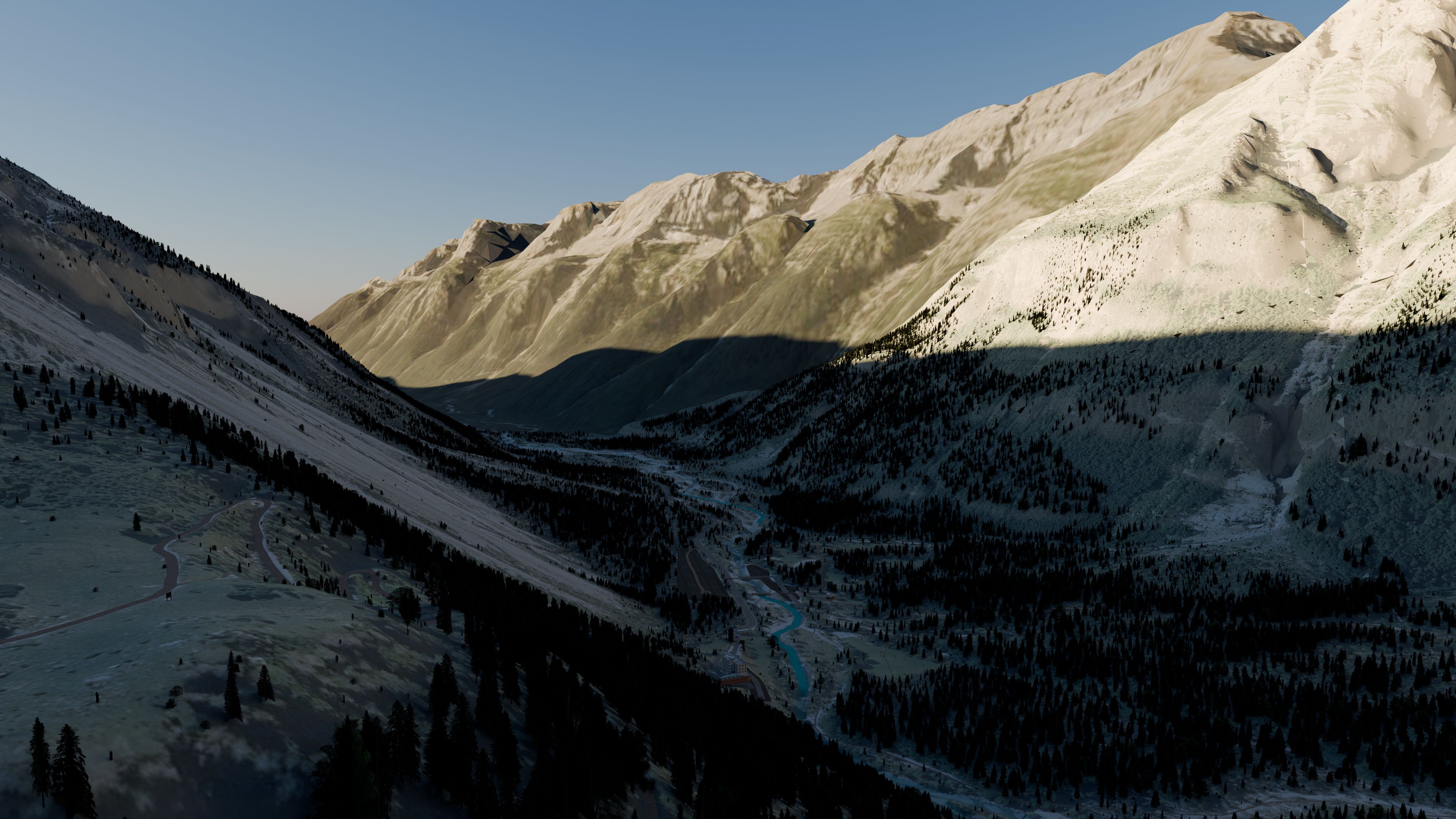
Why terrain is everything on a pass
On a touge the road is the whole point: how much a corner drops away, where the exit hides behind a crest, how steep the hairpin is. So, wherever it exists, the track gets each country's official terrain.
The road drives like a real road, with no steps or bumps, with its cuttings and embankments on either side, and with its bridges and tunnels where they are.
| Country | Terrain | Aerial imagery |
|---|---|---|
| Spain | Official | Official |
| France | Official | Official |
| Switzerland | Official | Official |
| Austria and South Tyrol | Satellite | Official |
| Norway and England | Official | Satellite |
| New Zealand | Official | Official |
| Japan | Satellite | Official |
| United States | Official | Official |
| Rest of the world | Satellite | Satellite |
Excerpt. The full list is in countries with official data.
Passes already generated
All of these were generated with Worldlaps.
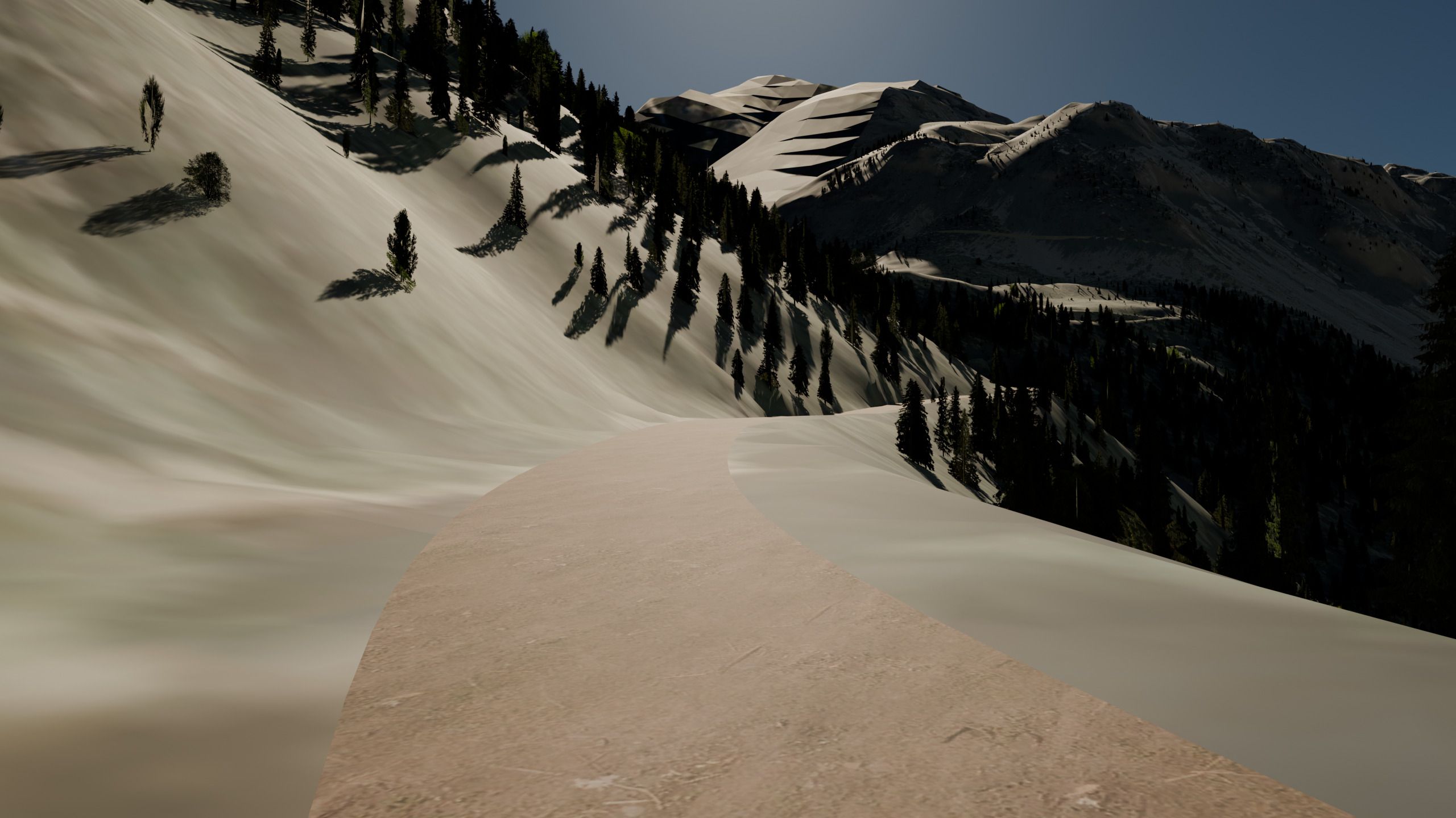
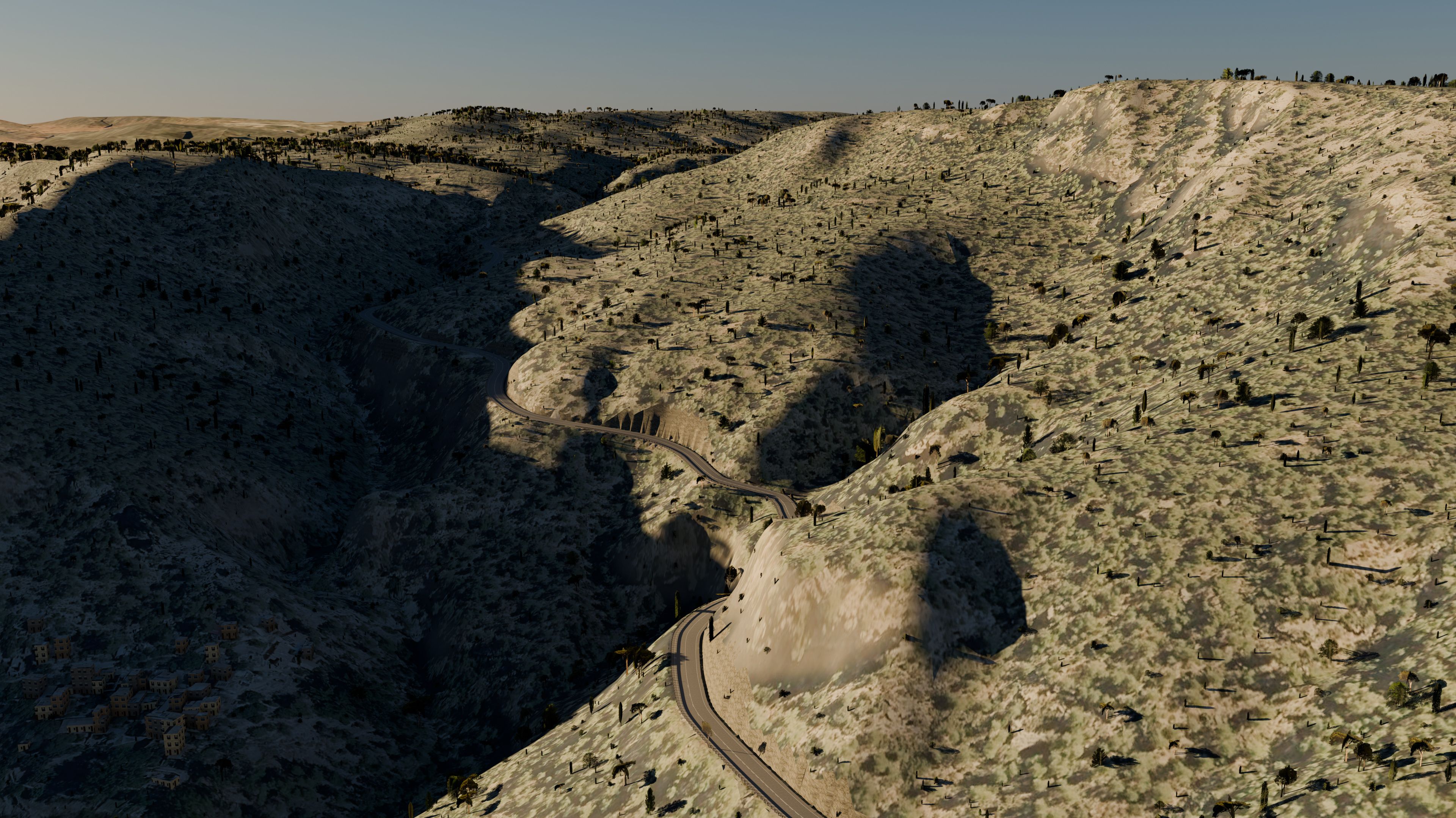
Two more from eastern Spain: the CV-310 between Serra and the Garbí in the Calderona hills (a village and its pass, 5.9 km², in about 6 minutes on the author's PC), and Valdelinares in the Gúdar range, with fast straights across the plateau and bends on the way down. Outside Spain, the Oberalp in Switzerland, on official Swiss terrain.
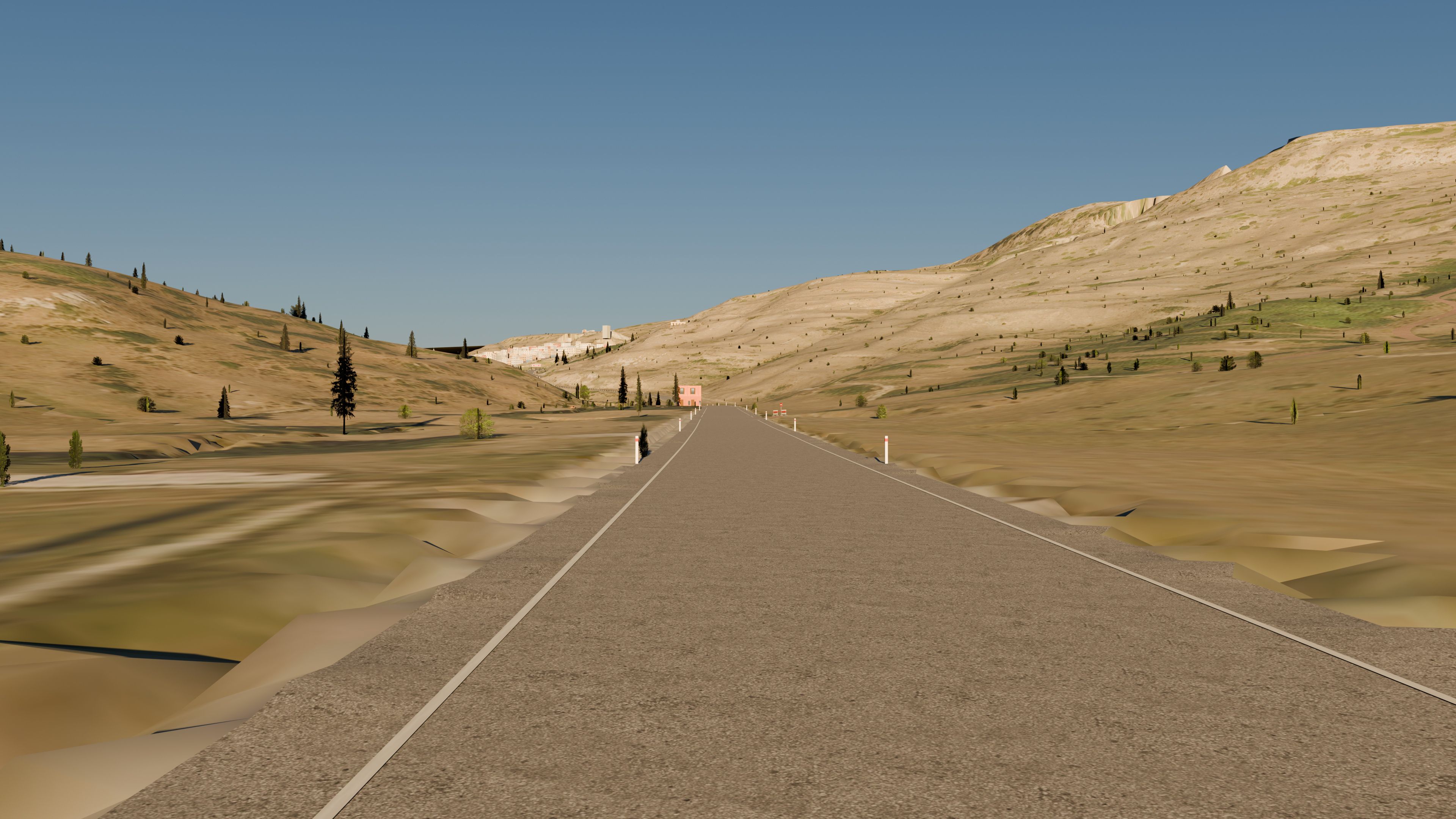
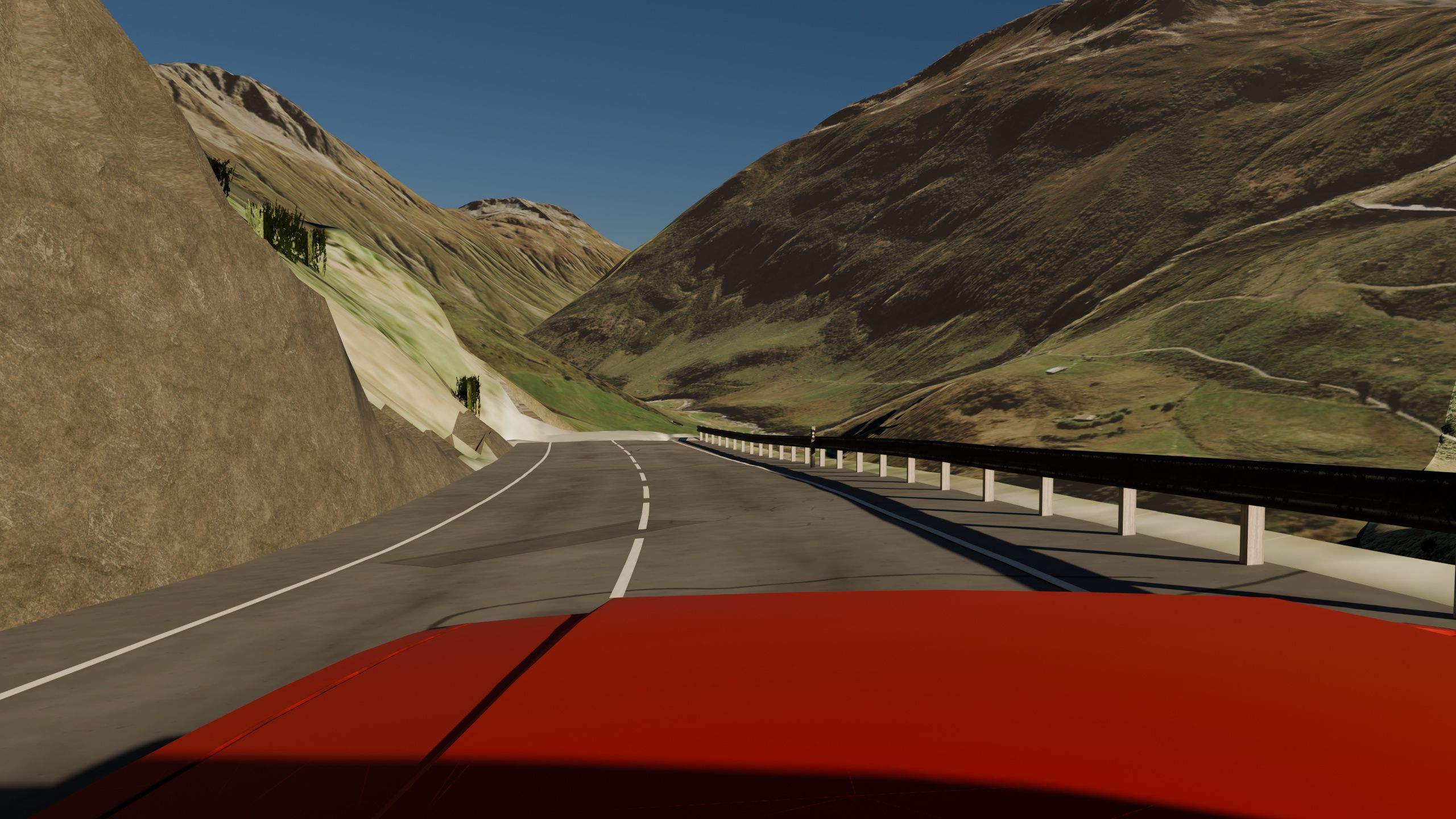
Alps and Pyrenees
High mountain passes are where terrain quality shows most. Both sides of the Pyrenees have official terrain and aerial imagery, even if your pass crosses the border, and Switzerland is at the same level.
In Austria and South Tyrol the aerial imagery is official but the terrain is the satellite one. The road layout is just as faithful, but slopes and crests look softer. Worth knowing before you pick your pass.
Japanese touge: Akagi, Haruna, Irohazaka, Hakone
Touge is a Japanese word, and the mountain roads that made it famous are all in OpenStreetMap: Mount Akagi and Mount Haruna in Gunma, the Irohazaka hairpins near Nikko, the Hakone Turnpike and the roads around Lake Ashi. Worldlaps can generate any of them like any other road.
Here is what Japan gets, honestly: the ground is covered with Japan's official aerial photo, so the verges, car parks and forest edges look right from the car. The terrain, however, is the satellite one: Japan's own elevation tiles need an approval under its Survey Act before they can be used in a 3D map. The road still drives cleanly, but crests and drops are softer than on a pass with official terrain.
A tip for Irohazaka: the climb and the descent are two separate one-way roads in OpenStreetMap. Draw an area that holds both, or pick one of them in stage mode for a timed hillclimb.
Famous mountain passes to drive as a touge in Assetto Corsa: 9 ideas
None of these is a pre-made track: they are roads you can draw in the app. What changes from one to another is how detailed the terrain and the ground are in each country:
| Pass | Where | Terrain | Aerial imagery | What to expect |
|---|---|---|---|---|
| Furka, Susten, Gotthard | Switzerland | Official | Official | The best case: every hairpin and wall where it is. |
| Col de Turini | France | Official | Official | The Monte Carlo Rally stage with its real gradients. |
| Stelvio (Trafoi side) | Italy: South Tyrol | Satellite | Official | Sharp ground, softer slopes; the Bormio side has satellite imagery only. |
| Grossglockner High Alpine Road | Austria | Satellite | Official | Faithful layout and ground; softer slopes. |
| Trollstigen | Norway | Official | Satellite | Exact relief; ground less sharp. |
| Hardknott Pass | England | Official | Satellite | Exact relief on one of England's steepest roads. |
| Crown Range Road | New Zealand | Official | Official | Official terrain and photo, like Spain. |
| Akagi, Haruna, Irohazaka | Japan | Satellite | Official | Sharp ground, softer relief (see above). |
| Transfăgărășan | Romania | Satellite | Satellite | Right layout; slopes and ground the least detailed. |
Quality per country from the countries table.
Long passes like the Stelvio or the Grossglockner road are big areas: draw a corridor along the road rather than a box around the whole valley, and the map stays a sensible size.
Free run or timed run
There are two ways to set up a touge:
- Free roam: draw a long, narrow polygon that follows the pass and you get the whole road open to run up and down as often as you like, with the village streets at the bottom included. The closest thing to a night on the touge. More in free-roam maps.
- Rally stage: click the roads of the pass in order and you get a start, a finish and point-to-point timing, with the side roads closed. Ideal for chasing your own time. More in how to make a rally stage.
Generating your pass vs downloading a touge pack
Many community touge tracks are hand-made mods of famous roads, such as Mulholland Drive in Los Angeles or the Japanese passes in touge packs. If there is a good mod of the pass you want, it is usually more polished than any generated track.
If there is none, or you want the pass near you with its official terrain and the village below included, generating it takes minutes. And nothing stops you having both: generated tracks install like any other.
Try your own pass
Any mountain road in OpenStreetMap can be generated: the pass you ride on your bike, the twisty road you know by heart, or a famous Alpine pass you always wanted to drive. Start with a short climb (a small area generates in a few minutes) and go bigger once you know how your PC copes.
If the pass is very long, stage mode offers to build only a corridor along the road so the map does not balloon in size.
Driving a generated mountain road: in-game screenshots
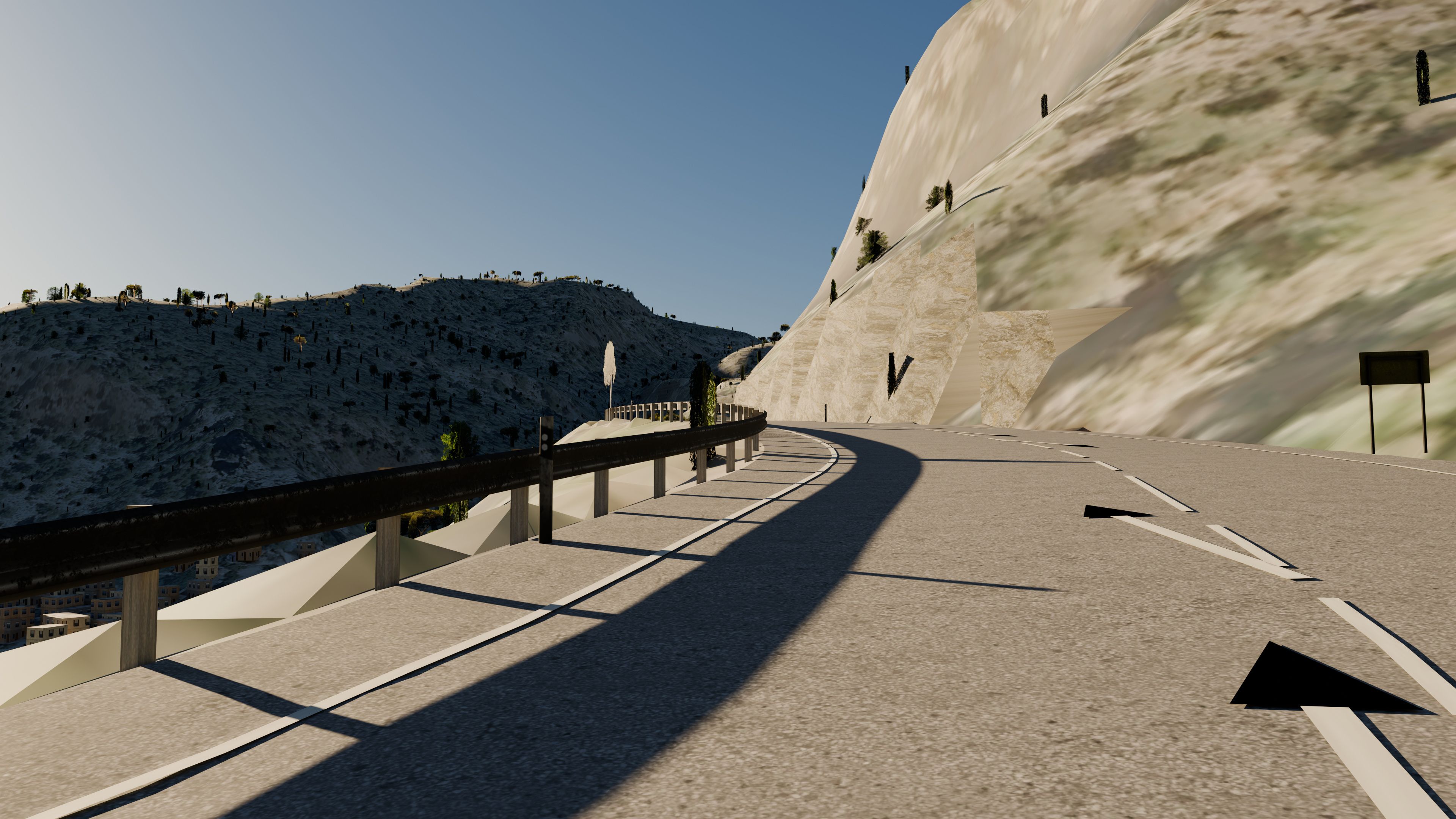
The photos above are pictures of the generated tracks. These are plain Assetto Corsa screenshots of generated mountain roads, chase cam and the game’s Mustang: hairpins, crests and guard rail as they look when you drive the pass.
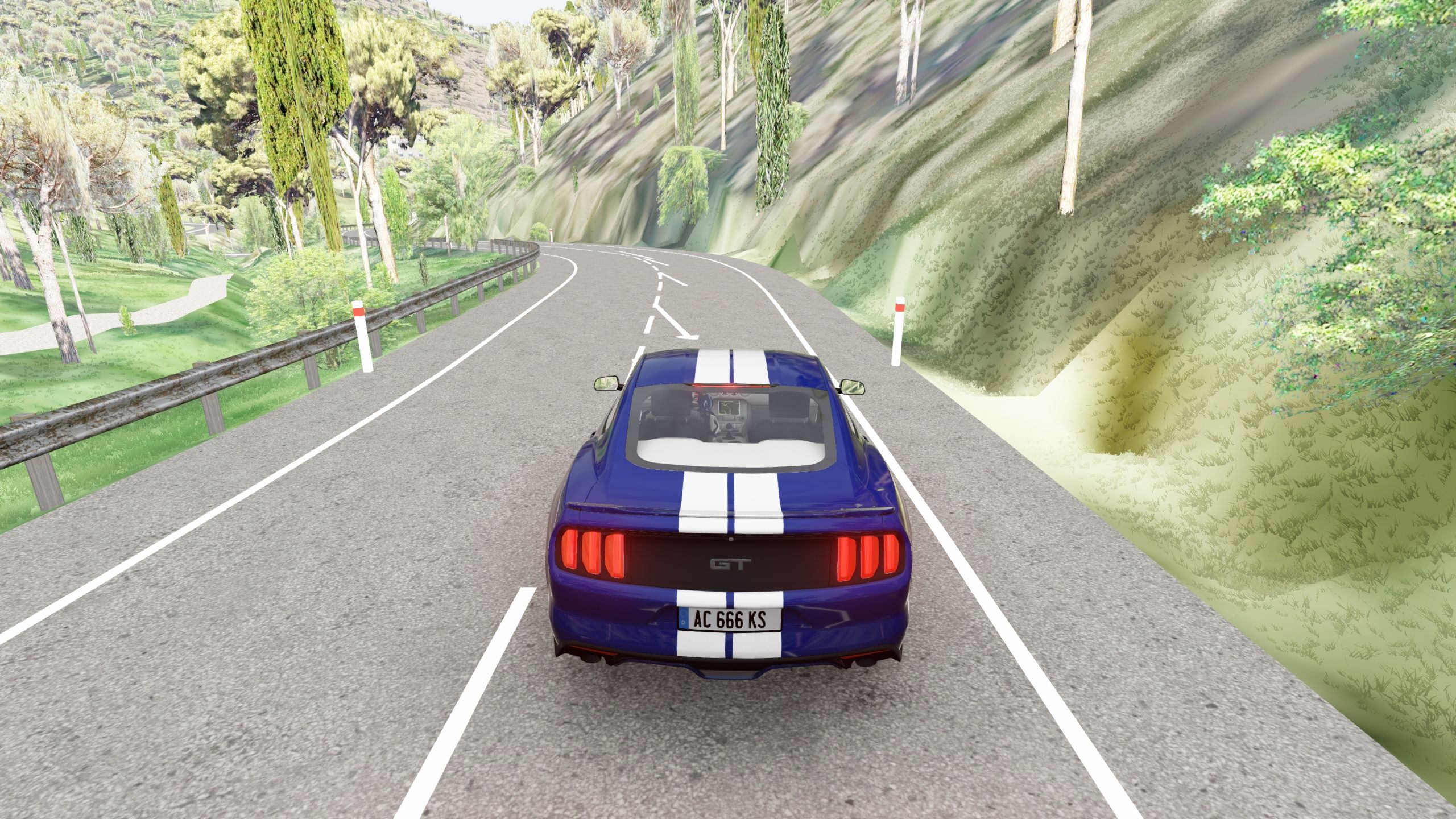
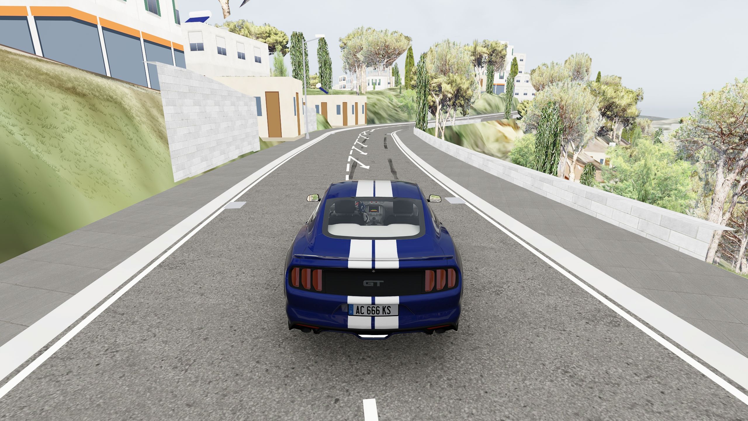
Frequently asked questions
Can I make Mount Akagi or Irohazaka?
Yes: both are in OpenStreetMap. The ground has Japan's official aerial photo and the terrain is the satellite one, so the relief is softer than on a pass with official terrain. More in Japanese touge.
Can I drive the Stelvio Pass in Assetto Corsa?
Yes, you can generate it. The South Tyrol side gets the province's official aerial photo; the terrain there is the satellite one. It has not been generated for this page, so check the result in the 3D preview before you install it.
Are the corners banked?
Yes. Rural roads without pavements are banked towards the inside of the bends, and the guard rail follows. Village streets stay flat, as in real life.
How accurate is the terrain?
It depends on the country. With official terrain (Spain, France, Switzerland, Norway, England, New Zealand, the US and more), every embankment and crest is in its place; with satellite terrain, slopes look softer. The full table is in countries with official data.
Can I drive it at night?
The track works without Custom Shaders Patch. If you have it, the track ships its configuration, with village street lamps as lights.
How long does a pass take to generate?
A village and its mountain pass, 5.9 km², took about 6 minutes on the author's PC. Maps of tens of km² take a good deal longer.
Keep reading
- Rally stages Start, finish and point-to-point timing on any road.
- Countries with official data Terrain and imagery, country by country.
- Free roam and drift A whole area with every street open.
- Your hometown in Assetto Corsa The village at the foot of the pass, street by street.
- Make an Assetto Corsa track from a real road The automatic way and the manual way, step by step.