
Google Maps to Assetto Corsa: why not, and how to get the same road
You cannot take Google Maps imagery, terrain or 3D tiles and put them in an Assetto Corsa track: the Google Maps Platform terms do not allow using that content outside Google's services. You can have the same road from open data instead (OpenStreetMap and each country's official maps), and that is what Worldlaps gives you.
By Abel Antonino Juberías · Updated
Join the waitlist Free. The first 100 get the full licence.
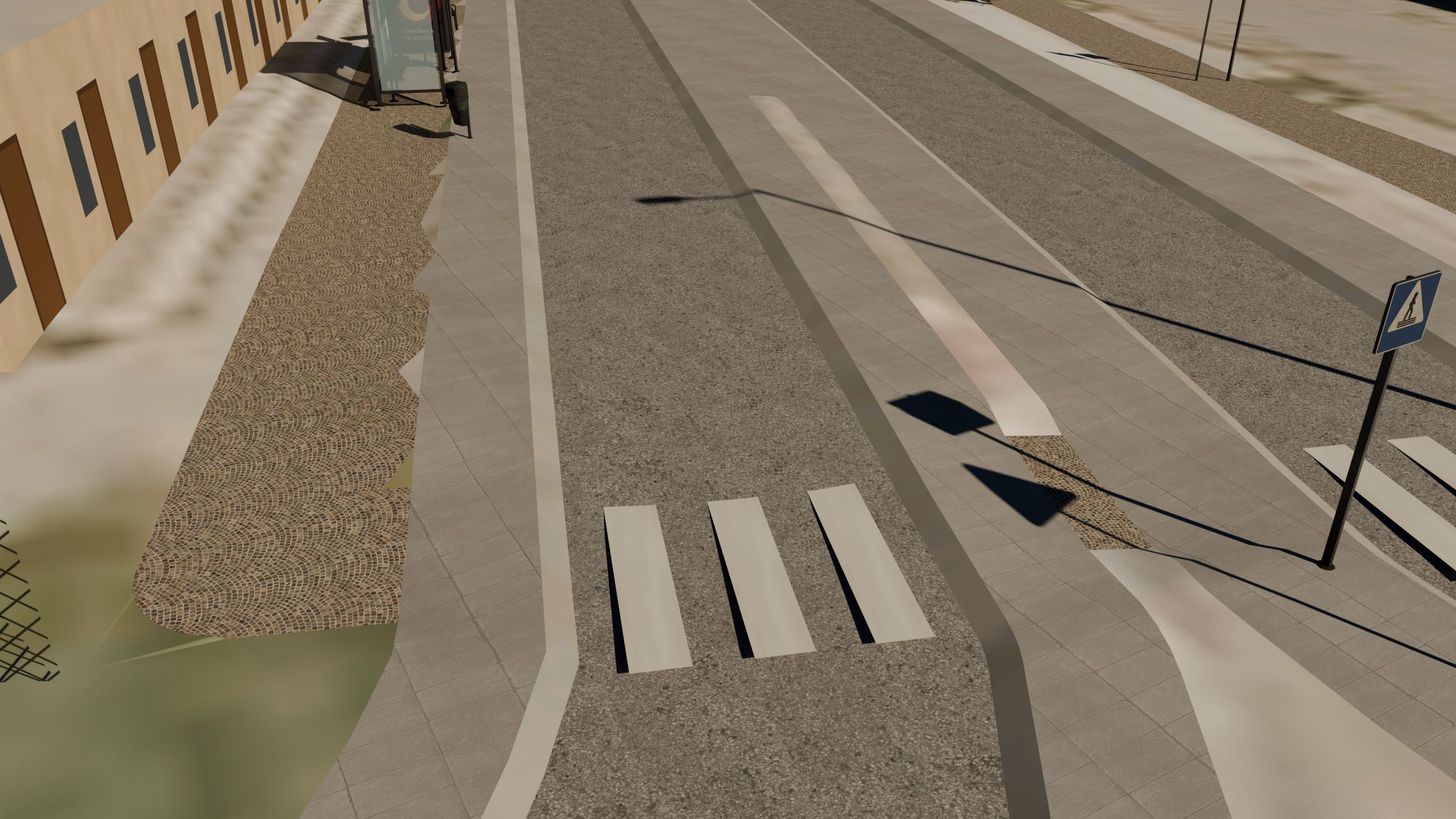
Can you use Google Maps for an Assetto Corsa track?
It is everyone's first idea: the road is right there in Google Maps, with satellite imagery, Street View and, in many cities, 3D buildings. But the Google Maps Platform terms do not allow extracting or copying that content (imagery, terrain, 3D models or the road map itself) to use outside Google's services, and a game track is outside them. The same goes for Google Earth.
Using Google Maps to look at the place is fine: finding the road, checking what a junction looks like, deciding where the stage should start. What you cannot do is put its data inside the track. This is practical information, not legal advice.
Race Track Builder does work with Google data, through the official API: that requires a Google account with billing enabled, and the terms of that API still apply to what you build. Details in the tool comparison.
The open equivalent of each Google Maps layer
Everything you would want from Google Maps for a track has an open counterpart whose licence does allow this use, as long as you credit the source:
| What you wanted from Google | Open source that replaces it | Licence |
|---|---|---|
| Road map (layout, widths, lanes) | OpenStreetMap, worldwide | ODbL, with attribution |
| Buildings | OpenStreetMap and each country's official maps | ODbL and open licences, with attribution |
| Satellite view | Each country's official aerial photo where it is open; open satellite imagery elsewhere | Mostly CC BY 4.0 or equivalent |
| Terrain and relief | Each country's official terrain where it is open; open satellite terrain elsewhere | Open, with attribution |
| 3D buildings with photo textures | No open equivalent: on the track, every building has its real footprint and a facade of its type | — |
The full list, country by country, is in the official terrain and imagery table.
Every track Worldlaps generates carries these attributions inside, and you should keep them if you share it. The details are in the open data attributions.
From a road on Google Maps to a track, step by step
- Find the road on Google Maps (or anywhere else) and note the name of the town or of the road: the CV-310, a mountain pass, the street where you grew up.
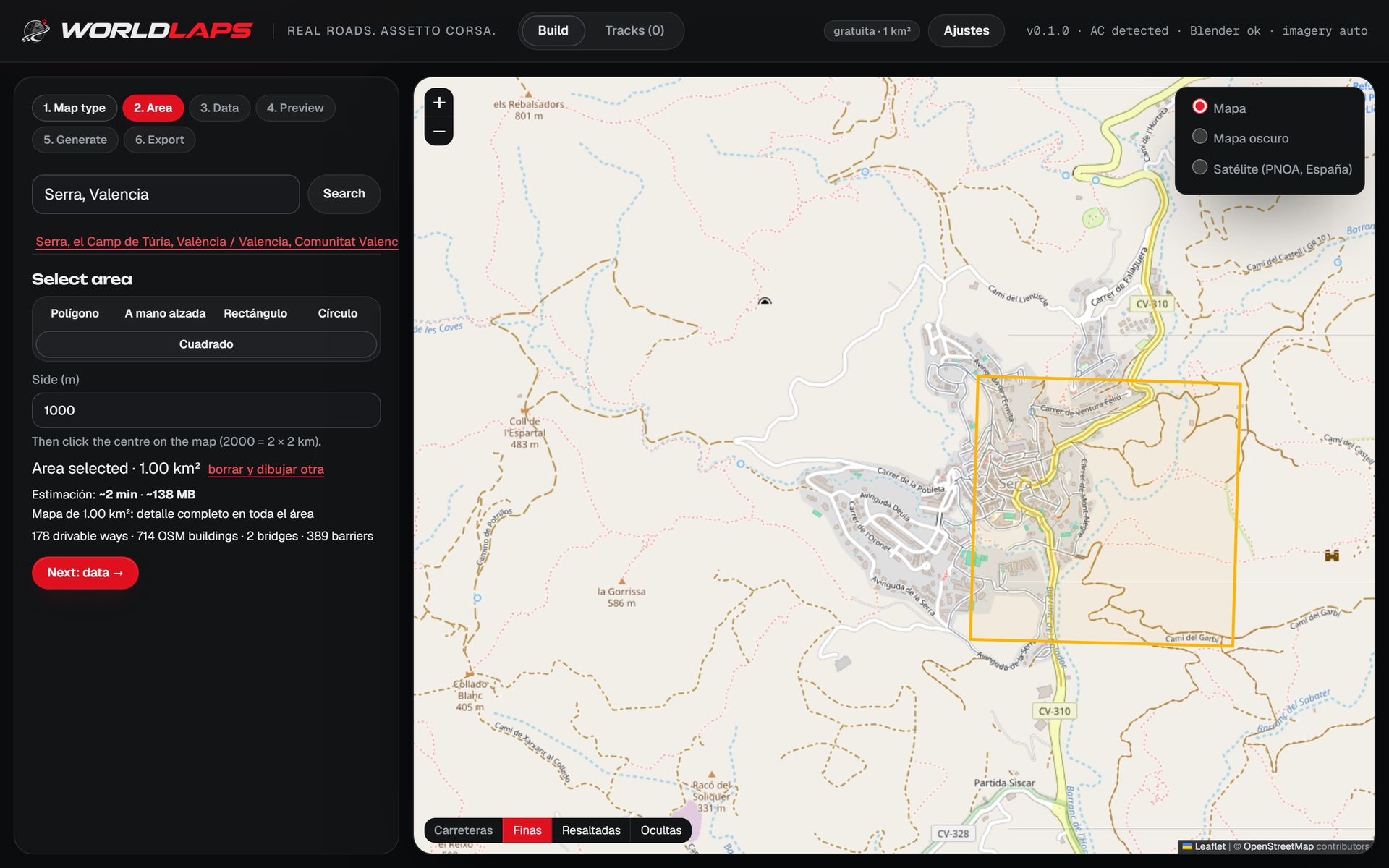
- Search the same name in Worldlaps. The app's search uses OpenStreetMap, so you land on the same place on an open map.
- Mark what you want to drive. A rectangle, a circle, a polygon or freehand for a whole area; or click the roads in order for a rally stage. The app shows the streets, buildings, size and estimated time before you start.
- Generate and drive. Press generate and, a few minutes later, install the track in Assetto Corsa in one click. The whole process is in the step-by-step guide.
What you get, and what you lose, compared with Google
- Road layout: in most of Europe, OpenStreetMap is as detailed as Google Maps, and often more, with lanes, surfaces, bridges and tunnels tagged. Where it is missing something you can add it on openstreetmap.org and generate again. More in OpenStreetMap to Assetto Corsa.
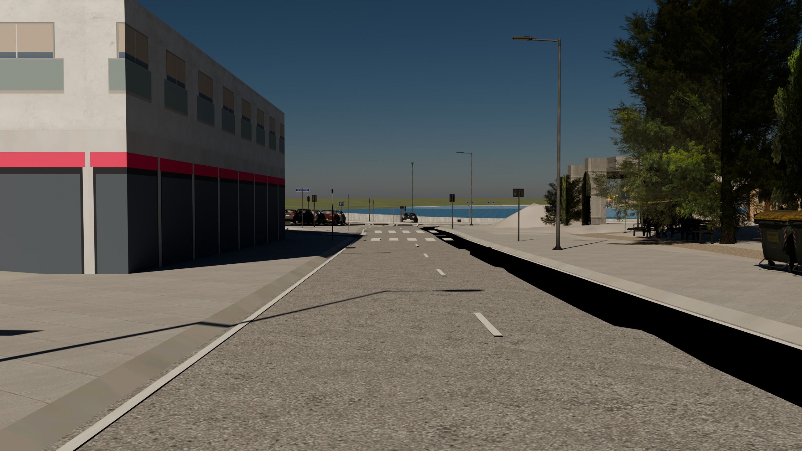
- Ground and relief: official aerial photos (Spain, France, the Netherlands, Switzerland…) are often sharper than satellite views, and with official terrain the crests and hairpins are where they really are.
- Buildings: here Google wins in big cities, with photographic 3D models. On the track, every building has its footprint, its height and a facade of its type, so it looks right from the car without copying anyone's 3D model.
Frequently asked questions
Can I make an Assetto Corsa track from Google Maps?
Not with its data: the Google Maps Platform terms do not allow using its imagery, terrain or 3D models outside Google's services. You can make the same road from OpenStreetMap and official open data.
Can I use Google 3D tiles or Google Earth?
No. Photorealistic 3D tiles and Google Earth fall under the same terms. In Worldlaps, every building has its real footprint and a facade of its type.
Does Race Track Builder use Google Maps?
Yes, through the Google API, which requires a Google account with billing enabled. Worldlaps needs no API key or account: it uses open data.
Is OpenStreetMap as good as Google Maps for a track?
For the road layout it usually is, and you can fix anything that is missing on openstreetmap.org. For the ground and the relief, official data is often better than a satellite view. What each country gets.